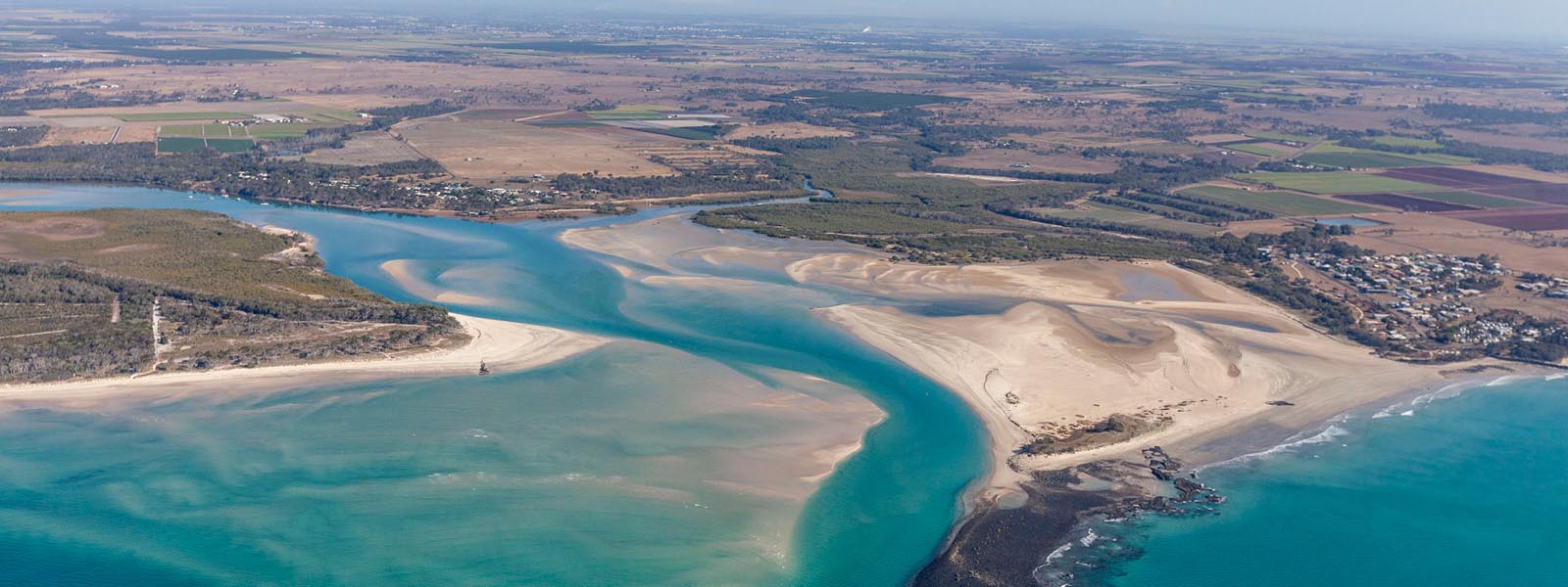
Kolan River and Gin Gin Creek Flood Study and Floodplain Risk Management Study
GHD Pty Ltd was commissioned by Bundaberg Regional Council (BRC) to undertake:
- A regional Flood Study of the Kolan River and Gin Gin Creek including a local flooding assessment for the township of Gin Gin; and
- A Floodplain Risk Management Study (FRMS) for the lower Kolan River floodplain and the township of Gin Gin located on Gin Gin Creek.
What is a flood study?
A flood study investigates the nature, frequency and severity of flooding across a catchment. It involves both hydrology (how rainfall becomes flow in creeks and rivers) and hydraulics (the behaviour of water as it travels down a waterway).
What is the flood study objective?
The flood study has been prepared to assist in the drafting of a new regional planning scheme and to inform planning decisions with respect to flooding issues. It has also been prepared to help Council to satisfy the recommendations of the Queensland Floods Commission of Inquiry that recent flood studies should be available for all floodplains that have the potential to impact communities.
What is a Floodplain Risk Management Study (FRMS)?
A Floodplain Risk Management Study uses the results of a flood study to assess the degree of flood risk, the potential impacts of flooding on a community (including private properties and public infrastructure), and makes recommendations to manage existing and future flood risk.
What is the FRMS outcomes and outputs?
The Floodplain Risk Management Study has provided Bundaberg Regional Council with a wealth of information and mapping products that will raise awareness on flood risk, enable the community to make informed decisions, and assist Council in developing strategies to manage flooding into the future. Some of the key outcomes and outputs include:
- A detailed analysis of flood travel times and duration of inundation
- Mapping of the numbers and locations of properties and key pieces of community infrastructure that are affected by flooding for the full range of design flood events
- An estimate of the average annual cost of flooding in terms of damage to residential dwellings
- Mapping of the floodplain function, showing areas that represent active conveyance zones, storage areas, and flood fringe areas
- An assessment of the amount of rainfall that may cause flooding that impacts on the community
- Evacuation Route Maps identifying key evacuation routes that may be cut by flooding
- Identification of four potential drainage upgrades and three areas for further investigation within the Gin Gin township
- A range of other recommendations for improving the early flood warning system and improving community awareness
A public information session was held at the RSL Hall in Gin Gin, 15 July 2014 to present and validate the findings including key outcomes of each of the studies. For historical reference, the presentation materials is provided below.